10 Sights in Shigar Tehsil, Pakistan (with Map and Images)
Legend
Welcome to your journey through the most beautiful sights in Shigar Tehsil, Pakistan! Whether you want to discover the city's historical treasures or experience its modern highlights, you'll find everything your heart desires here. Be inspired by our selection and plan your unforgettable adventure in Shigar Tehsil. Dive into the diversity of this fascinating city and discover everything it has to offer.
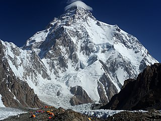
1. K2
K2, at 8,611 metres (28,251 ft) above sea level, is the second-highest mountain on Earth, after Mount Everest at 8,849 metres (29,032 ft). It lies in the Karakoram range, partially in the Gilgit-Baltistan region of Pakistan-administered Kashmir and partially in the China-administered Trans-Karakoram Tract in the Taxkorgan Tajik Autonomous County of Xinjiang.
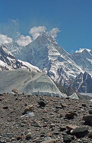
2. Masherbrum
Masherbrum is a mountain located in the Ghanche District in the Gilgit Baltistan region of Pakistan. With an elevation of 7,821 metres, it ranks as the 22nd highest mountain globally and the 9th highest in Pakistan. It holds the distinction of being the first mapped peak in the Karakoram mountain range during the Great Trigonometrical Survey, leading to its K-number designation as "K1".
3. Ogre
Baintha Brakk or The Ogre is a steep, craggy mountain, 7,285 metres (23,901 ft) high, in the Panmah Muztagh, a subrange of the Karakoram mountain range. It is located in Gilgit-Baltistan, Pakistan. It is famous for being one of the hardest peaks in the world to climb: twenty-four years elapsed between the first ascent in 1977 and the second in 2001.
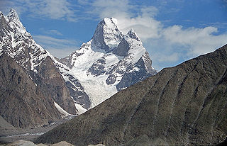
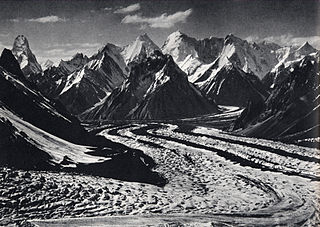
4. Muztagh Tower
Muztagh Tower, also Mustagh Tower; Muztagh: icy mountain), is a mountain situated in Baltoro Muztagh, which is a segment of the Karakoram range. It straddles the border of the Gilgit–Baltistan region of Pakistan and the Xinjiang Uyghur Autonomous Region of China. Muztagh Tower is located between the basins of the Baltoro and Sarpo Laggo glaciers.
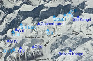
5. Gasherbrum I
Gasherbrum is a remote group of peaks situated at the northeastern end of the Baltoro Glacier in the Karakoram mountain range. The peaks are located within the border region of Gilgit-Baltistan, Pakistan and Xinjiang, China. The massif contains three of the world's 8,000 metre peaks. The highly visible face of Gasherbrum IV has gained the nickname the "Shining Wall" and this has often been claimed as the meaning of the word "Gasherbrum". However the name Gasherbrum comes from "rgasha" (beautiful) + "brum" (mountain) in Balti, hence it actually means "beautiful mountain".
6. Chogolisa
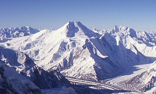
Chogolisa is a trapezoidal mountain located in the Karakoram range within the Gilgit-Baltistan region of Pakistan. It is situated near the Baltoro Glacier in the Concordia region, which is renowned for hosting some of the world's tallest peaks.
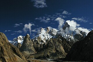
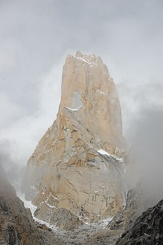
7. Trango Tower
The Trango Tower or Nameless Tower is a 6251 m high granite peak on the north side of the Baltoro Glacier opposite Urdukas in Baltoro Muztagh in northern Pakistan. It is considered the most spectacular peak among the Trango Towers.
8. Summa Ri I
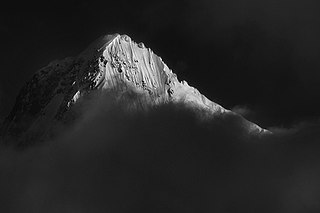
Summa Ri comprises two of the sub-peaks of Skil Brum in the Hindu Kush-Karakoram range. It is on the border between Gilgit-Baltistan region of Pakistan-administered Kashmir and Xinjiang Autonomous Region in China.
9. Praqpa Kangri
Praqpa Kangri is a mountain in Pakistan's Karakoram range in the territory of Gilgit-Baltistan. Praqpa Kangri has an altitude of 7,134 m. The main summit is located 2.33 km south of Skil Brum. The peak's prominence is 668 m. The Savoia glacier flows from the east flank of the mountain towards the Godwin-Austen-Glacier. The Biango Glacier lies to the west of the peak, as does eight-thousanders K2 and Broad Peak.
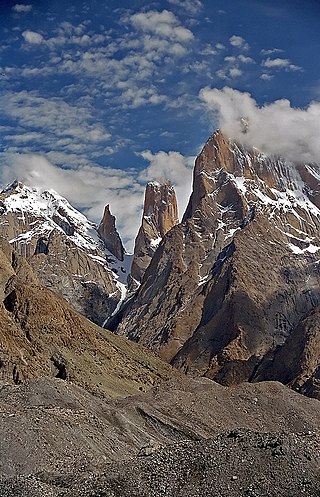
10. Trango Monk
The Trango Monk is a 5850 m high granite peak on the north side of the Baltoro Glacier opposite Urdukas in the Baltoro Muztagh in northern Pakistan. It is located about 400 m north of the Trango Tower. Trango Monk forms a southern secondary peak of Trango Ri. It is located on the southeastern flank of Trango II.
Share
How likely are you to recommend us?
Disclaimer Please be aware of your surroundings and do not enter private property. We are not liable for any damages that occur during the tours.
