Self-guided Sightseeing Tour #5 in Innsbruck, Austria
Legend
Tour Facts
5.4 km
116 m
Experience Innsbruck in Austria in a whole new way with our free self-guided sightseeing tour. This site not only offers you practical information and insider tips, but also a rich variety of activities and sights you shouldn't miss. Whether you love art and culture, want to explore historical sites or simply want to experience the vibrant atmosphere of a lively city - you'll find everything you need for your personal adventure here.
Activities in InnsbruckIndividual Sights in InnsbruckSight 1: Evangelical Church of Christ
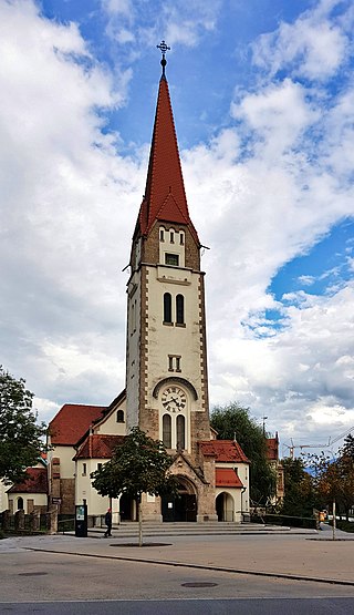
The Christuskirche is a Protestant church in the district of Saggen in the provincial capital Innsbruck in Tyrol, which was built between 1905 and 1906. It is the main church of the Protestant Superintendence of Salzburg and Tyrol and is a listed building.
Sight 2: Siebenkapellenkirche
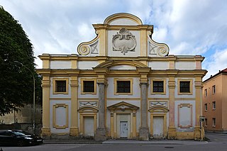
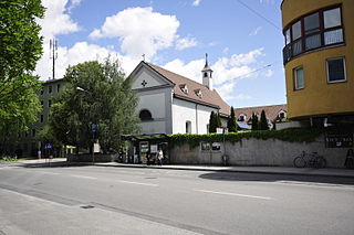
The Siebenkapellenkirche, also known as the Heiliggrabkirche or Siebenkreuzkapelle, is a profaned church building in the Dreiheiligen-Schlachthof district of Innsbruck, Germany.
Sight 3: Kapuzinerkirche
The Capuchin Monastery Innsbruck is a monastery of the Capuchin Order in Innsbruck, Austria. It was the seat of the Provincial Council of the former Capuchin Province of Austria-South Tyrol.
Sight 4: Hofgarten
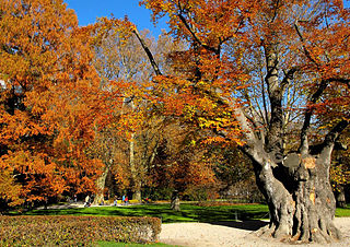
The Hofgarten is a protected park located on the edge of the Altstadt section of Innsbruck, Austria. The park covers an area of 10 hectares, and borders on the Hofburg, the Kongresshaus, and the Tyrolean State Theatre.
Sight 5: Emile-Béthouart-Steg
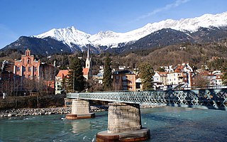
The Emile-Béthouart-Steg is a pedestrian bridge over the Inn River in Innsbruck, Austria. The iron truss bridge, built in 1875 and listed as a historic monument since 1923, connects St. Nikolaus on the left bank of the Inn with the Saggen on the right bank of the Inn. It is located about 600 m below the Inn bridge and 700 m above the Hans-Psenner-Steg.
Sight 6: Golden Roof
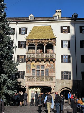
Get Ticket*The Goldenes Dachl is a landmark structure located in the Old Town (Altstadt) section of Innsbruck, Austria. It is considered the city's most famous symbol. Completed in 1500, the roof was decorated with 2,657 fire-gilded copper tiles for Emperor Maximilian I to mark his wedding to Bianca Maria Sforza. The Emperor and his wife used the balcony to observe festivals, tournaments, and other events that took place in the square below.
Sight 7: Stadtturm
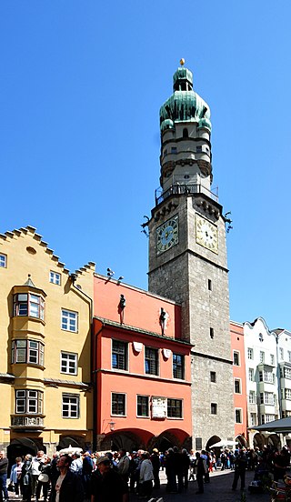
Get Ticket*The town hall tower, called the city tower, stands in the middle of the historic centre of Innsbruck, at Herzog-Friedrich-Straße 21.
Sight 8: Helbling House
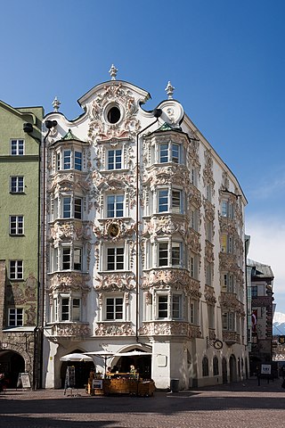
Get Ticket*Helbling House is a building located in the Old Town (Altstadt) section of Innsbruck, Austria, across from the Golden Roof at Herzog-Friedrich-Strasse 10. The original structure was built in the fifteenth century, but evolved significantly with new architectural styles in subsequent centuries.
Sight 9: Landschaftliche Kirche Mariahilf
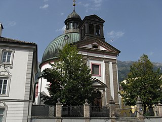
The Roman Catholic Landscape Parish Church of Mariahilf is a church in the district of Hötting, on the left bank of the Inn in Innsbruck, Austria.
Sight 10: Höttinger Kirche
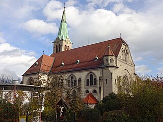
The parish church of Hötting, also known as the New Hötting Parish Church, is the Catholic parish church of the Innsbruck district of Hötting. Surrounded by a cemetery, the historicist building was built between 1909 and 1911. The church is to be given to St. Ingenuin and Albuin and is a listed building.
Sight 11: Alte Höttinger Kirche
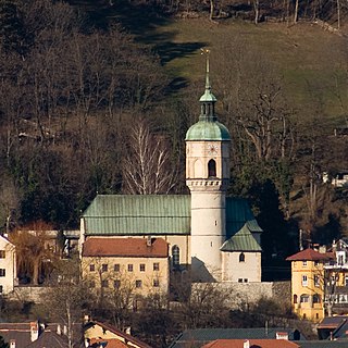
The old parish church of Hötting is the former Catholic parish church of the village and today's Innsbruck district of Hötting. The building, which dates back to the early Middle Ages, dates back to the 15th century in its present form. The church is to be given to St. Ingenuin and Albuin and is a listed building.
Sight 12: Alte Universitäts-Sternwarte Hötting
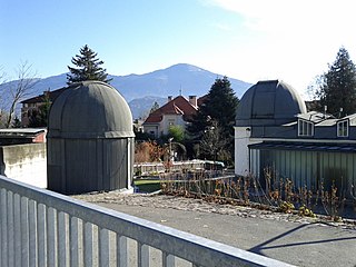
Innsbruck Observatory is an astronomical observatory owned and operated by the institutes of astrophysics out of the University of Innsbruck. It is located in Innsbruck, Austria.
Sight 13: Botanischer Garten
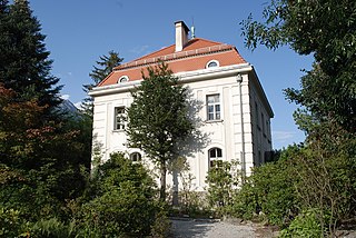
The Botanical Garden of the University of Innsbruck is a 2-hectare botanical garden operated by the University of Innsbruck. It is located in Hötting at Sternwartestraße 15, Innsbruck, Austria. The gardens are open at no cost every day; its greenhouses are open on Thursday afternoons for an admission fee.
Wikipedia: Botanical Garden of the University of Innsbruck (EN)
Share
Disclaimer Please be aware of your surroundings and do not enter private property. We are not liable for any damages that occur during the tours.
GPX-Download For navigation apps and GPS devices you can download the tour as a GPX file.
