Self-guided Sightseeing Tour #16 in Cologne, Germany
Legend
Guided Free Walking Tours
Book free guided walking tours in Cologne.
Guided Sightseeing Tours
Book guided sightseeing tours and activities in Cologne.
Tour Facts
6 km
76 m
Experience Cologne in Germany in a whole new way with our self-guided sightseeing tour. This site not only offers you practical information and insider tips, but also a rich variety of activities and sights you shouldn't miss. Whether you love art and culture, want to explore historical sites or simply want to experience the vibrant atmosphere of a lively city - you'll find everything you need for your personal adventure here.
Activities in CologneIndividual Sights in CologneSight 1: Herz Jesu
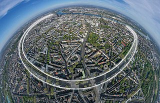
The Cologne Rings are a series of contiguous streets with a boulevard character, which lie in a semicircle around the old town in Cologne on the left bank of the Rhine. They are based on the course of the medieval Cologne city wall and are 7 kilometres long.
Sight 2: Barbarastollen
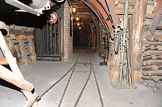
The Barbara Tunnel is a show mine of the University of Cologne in Cologne. It lies in a basement room under the auditorium.
Sight 3: Katholische Klinikkirche St. Johannes der Täufer
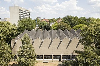
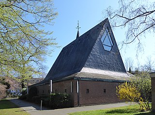
St. John the Baptist is the Catholic church of the University Hospital of Cologne in the Lindenthal district. It was built between 1962 and 1965 according to the plans of the architect Gottfried Böhm in collaboration with Kurt Günssler and has been a listed building since 2001.
Sight 4: St. Stephan
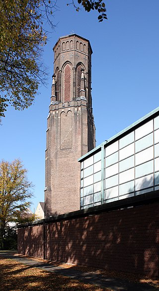
The Roman Catholic Church of St. Stephen was built between 1884 and 1887 according to plans by August Carl Lange and Robert Mohr in Cologne-Lindenthal. It was one of the first churches in Germany to be destroyed on May 27/28, 1941. Only the church tower was restored in a modified form after the Second World War. The church tower and some of the church's furnishings were placed under monument protection on 24 July 1985 and 19 June 2001 and entered into the list of monuments of the city of Cologne.
Sight 5: Lortzingplatz
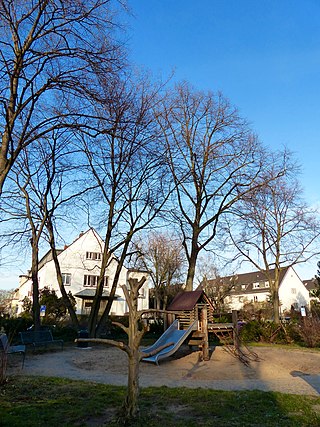
Lortzingplatz was laid out between 1906 and 1908 by the royal horticultural architect Fritz Encke in the Lindenthal district of Cologne. According to Encke's plans, the 2300 square metre garden square was to take on the function of a multifunctional recreational space in the residential district on Theresienstraße, which was built up to the beginning of the 20th century. The square was named after the composer Albert Lortzing, who married Rosina Regina Ahles in Cologne on January 30, 1824.
Sight 6: Stadtwald
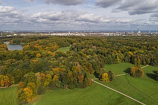
The Cologne City Forest is a spacious park created at the end of the 19th century in the western Cologne district of Lindenthal. The green area, which is equipped with a game reserve, ponds and water canals as well as sports and playgrounds and an extensive network of paths, is a popular local recreation area on the left bank of the Rhine.
Sight 7: St. Thomas-Morus-Kirche
St. Thomas More Church is a Roman Catholic church in the Lindenthal district of Cologne, Germany.
Sight 8: Edith Stein
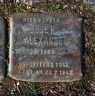
The list of stumbling stones in the Cologne district of Lindenthal lists the stumbling stones laid by the artist Gunter Demnig in the Cologne district of Lindenthal.
Wikipedia: Liste der Stolpersteine im Kölner Stadtteil Lindenthal (DE), Website
Share
Disclaimer Please be aware of your surroundings and do not enter private property. We are not liable for any damages that occur during the tours.
GPX-Download For navigation apps and GPS devices you can download the tour as a GPX file.
