Self-guided Sightseeing Tour #8 in Magdeburg, Germany
Legend
Tour Facts
7.3 km
99 m
Experience Magdeburg in Germany in a whole new way with our self-guided sightseeing tour. This site not only offers you practical information and insider tips, but also a rich variety of activities and sights you shouldn't miss. Whether you love art and culture, want to explore historical sites or simply want to experience the vibrant atmosphere of a lively city - you'll find everything you need for your personal adventure here.
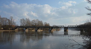
Individual Sights in MagdeburgSight 1: Brücke über die Alte Elbe
The bridge over the Old Elbe is a listed railway bridge in Magdeburg in Saxony-Anhalt, Germany.
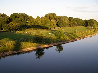
Sight 2: Rotehornpark
Rotehornpark, also known as Rotehorn City Park, is the largest city park in the city of Magdeburg with an area of 200 hectares. The park is located on an island in the Elbe and is part of the Saxony-Anhalt Garden Dreams network.
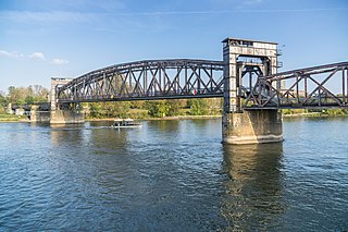
Sight 3: Hubbrücke
The Magdeburg lift bridge is a lift bridge that spans the Elbe in Magdeburg at river kilometre 325.47. It was built in 1848 as a single-track railway bridge and can now be used as a pedestrian bridge. It is one of the oldest and largest lift bridges in Germany and is a listed building.
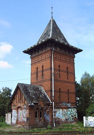
Sight 4: Akkumulatorenturm der Hubbrücke Magdeburg
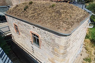
The water tower of the Magdeburg lift bridge is a listed accumulator tower of the Magdeburg lift bridge on the west bank of the Elbe in Magdeburg.
Sight 5: Domfelsen
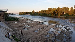
The Domfelsen is a rock formation near Magdeburg Cathedral, part of which juts out into the River Elbe in Germany. The name means "Cathedral Rocks"
Sight 6: Altes Leipziger Tor
The Old Leipzig Gate was a railway fortress gate of the Magdeburg Fortress and has been preserved in parts.
Sight 7: Bastion Cleve
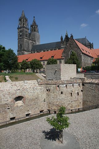
The Cleve Bastion is the southeastern end of the former Magdeburg Fortress.
Sight 8: Vacanz
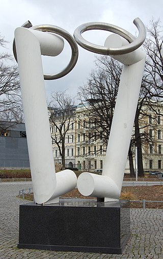
Vacanz is the name of a sculpture in Magdeburg's old town.
Sight 9: Aerobiont I
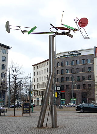
Aerobiont I is a sculpture designed as a mobile in Magdeburg's old town.
Sight 10: Schneidersgarten
Schneidersgarten is a 1.3-hectare urban park in the Sudenburg district of Magdeburg. It is the only park in the district. It is surrounded in the south by Schneidersgarten, in the east by Jordanstraße, in the north by Dürerstraße and in the west by Brunnerstraße.
Sight 11: Sankt Marien
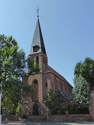
The Church of St. Mary is the Roman Catholic church in Sudenburg, a district of Magdeburg, the capital of Saxony-Anhalt. It belongs to the parish of St. Maria, which has its seat at the Church of Mary Help of Christians in the Magdeburg district of Ottersleben, and to the Magdeburg deanery of the Diocese of Magdeburg. The church named after St. Mary on Rottersdorfer Straße is a listed building and is one of the cultural monuments in Sudenburg.
Share
Disclaimer Please be aware of your surroundings and do not enter private property. We are not liable for any damages that occur during the tours.
GPX-Download For navigation apps and GPS devices you can download the tour as a GPX file.
