Self-guided Sightseeing Tour #13 in Wrocław, Poland
Legend
Tour Facts
3.3 km
38 m
Experience Wrocław in Poland in a whole new way with our free self-guided sightseeing tour. This site not only offers you practical information and insider tips, but also a rich variety of activities and sights you shouldn't miss. Whether you love art and culture, want to explore historical sites or simply want to experience the vibrant atmosphere of a lively city - you'll find everything you need for your personal adventure here.
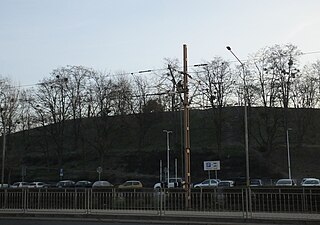
Individual Sights in WrocławSight 1: Wzgórze Andersa
Anders Hill - an artificial hill created in the Huby housing estate in Wrocław with an absolute height of 138.14 m above sea level. The area of the Anders Hill is limited by four streets - Kamienna Street from the south, Ślężna Street from the west, Marek Petrusewicza Street from the north and Borowska Street from the east, where the hill is located used to be Sobótkowska Street. The hill has the shape of a flat mound formed of five layers decreasing upwards, the highest point is in the south-western part.
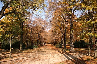
Sight 2: Park Generała Władysława Andersa
General Władysław Anders Park – a city park located in Wrocław, in the area of the following streets: Kamienna, Borowska, Ślężna and Wieczyzna. Its current name is in force on the basis of the Resolution of the City Council of Wrocław of 9 October 1993 (No. LXXI/454/93) on the names of parks and forest areas existing in Wrocław. There are, m.in, two playgrounds in the park. The network of alleys in the park resembles the layout found in cemeteries.
Wikipedia: Park Generała Władysława Andersa we Wrocławiu (PL)
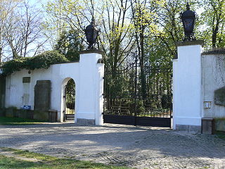
Sight 3: Jewish Cemetery
The Old Jewish Cemetery is a historic necropolis-museum situated on 37/39 Ślężna Street, in the southern part of Wrocław, Poland. Opened in 1856, the cemetery's eclectic layout features many architectural forms and styles on a monumental scale.
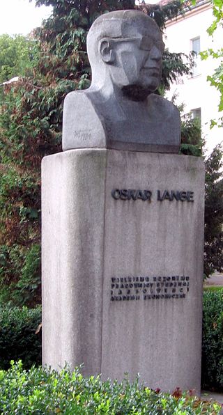
Sight 4: Oskar Lange
Oskar Lange Monument – erected in Wrocław on the premises of the University of Economics.
Sight 5: Kościół Świętego Augustyna
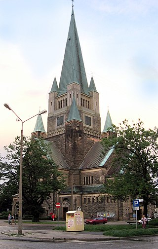
St. Augustine's Church – a post-evangelical Catholic church at Sudecka Street in Wrocław. Its patron is Augustine of Hippo; until 1945, this dedication was borne by another church in Wrocław's Borek, at Kleinburgstraße (Januszowicka Street), which was razed to the ground during the Red Army's attack on Festung Breslau at the end of World War II.
Share
How likely are you to recommend us?
Disclaimer Please be aware of your surroundings and do not enter private property. We are not liable for any damages that occur during the tours.
GPX-Download For navigation apps and GPS devices you can download the tour as a GPX file.
