Self-guided Sightseeing Tour #2 in Bristol, United Kingdom
Legend
Guided Free Walking Tours
Book free guided walking tours in Bristol.
Guided Sightseeing Tours
Book guided sightseeing tours and activities in Bristol.
Tour Facts
5.2 km
88 m
Experience Bristol in United Kingdom in a whole new way with our free self-guided sightseeing tour. This site not only offers you practical information and insider tips, but also a rich variety of activities and sights you shouldn't miss. Whether you love art and culture, want to explore historical sites or simply want to experience the vibrant atmosphere of a lively city - you'll find everything you need for your personal adventure here.
Individual Sights in BristolSight 1: Bristol Hippodrome

The Bristol Hippodrome is a theatre located in The Centre, Bristol, England, United Kingdom with seating on three levels giving a capacity of 1,951. It frequently features shows from London's West End when they tour the UK, as well as regular visits by Welsh National Opera and an annual pantomime.
Sight 2: Framework

The 35 King Street is a former cork warehouse in King Street, Bristol, England, currently housing an Indian restaurant and serviced office space.
Sight 3: Bristol Old Vic

Bristol Old Vic is a British theatre company based at the Theatre Royal, Bristol. The present company was established in 1946 as an offshoot of the Old Vic in London. It is associated with the Bristol Old Vic Theatre School, which became a financially independent organisation in the 1990s. Bristol Old Vic runs a Young Company for those aged 7–25.
Sight 4: smallBAR

32 King Street is the address of a historic warehouse building in King Street, Bristol, England.
Sight 5: Abbeywood Tots

7 and 8 King Street are a pair of historic houses situated on King Street in Bristol, England.
Sight 6: Equestrian Statue of William III

The equestrian statue of William III is a historic statue in the centre of Queen Square in Bristol, England. It is a Grade I listed building.
Sight 7: Queen Square

Queen Square is a 2.4 hectares Georgian square in the centre of Bristol, England. Following the 1831 riot, Queen Square declined through the latter part of the 19th century, was threatened with a main line railway station, but then bisected by a dual carriageway in the 1930s. By 1991 20,000 vehicles including scheduled buses were crossing the square every day, and over 30% of the buildings around it were vacant.
Sight 8: Sailors Refuge

The Sailors Refuge is an historic house situated at 27–29 Queen Square, Bristol, England.
Sight 9: Thekla

Thekla is a former cargo ship moored in the Mud Dock area of Bristol's Floating Harbour, England. The ship was built in Germany in 1958 and worked in the coastal trades.
Sight 10: Stowe

Queen Square House is an historic building situated in Queen Square, Bristol, England.
Sight 11: Saint Thomas the Martyr

St Thomas the Martyr is a former Church of England parish church on St Thomas Street in the Redcliffe district of the English port city of Bristol.
Sight 12: St Mary Redcliffe

The Church of St Mary the Virgin, widely known as St Mary Redcliffe, is the main Church of England parish church for the Redcliffe district of the city of Bristol, England. The first reference to a church on the site appears in 1158, with the present building dating from 1185 to 1872. The church is considered one of the country's finest and largest parish churches as well as an outstanding example of English Gothic architecture. The church is so large it is sometimes mistaken for Bristol Cathedral by tourists. The building has Grade I listed status, the highest possible category, by Historic England.
Sight 13: John Sebastian Lightship

Bathurst Basin is a small triangular basin adjoining the main harbour of the city of Bristol, England. The basin takes its name from Charles Bathurst, who was a Bristol MP in the early 19th century.
Sight 14: Old City Gaol
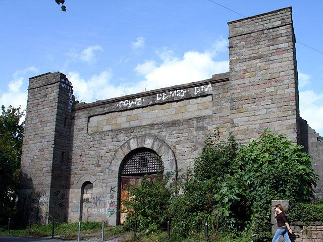
The New Gaol is in Cumberland Road, Spike Island, Bristol, England, near Bristol Harbour.
Sight 15: M Shed

M Shed is a museum in Bristol, England, located on Prince's Wharf beside the Floating Harbour in a dockside transit shed formerly occupied by Bristol Industrial Museum. The museum's name is derived from the way that the port identified each of its sheds. M Shed is home to displays of 3,000 artefacts and stories, showing Bristol's role in the slave trade and items on transport, people, and the arts. Admission is free.
Sight 16: Mayflower

Mayflower is a steam tug built in Bristol in 1861 and now preserved by Bristol Museums Galleries & Archives. She is based in Bristol Harbour at M Shed. She is the oldest Bristol-built ship afloat, and is believed to be the oldest surviving tug in the world.
Sight 17: Pyronaut

Pyronaut is a specialised form of fireboat known as a fire-float. It was built in 1934 by Charles Hill & Sons Ltd., Albion Dock Bristol, Yard No. 208. Registered number 333833. She is owned by Bristol Museums and based at M Shed in Bristol's Floating Harbour.
Sight 18: Matthew
Matthew may refer to:Matthew (surname) Matthew (album), a 2000 album by rapper Kool Keith Matthew, a cultivar of the Chinese Elm Ulmus parvifolia
Sight 19: SS Great Britain

SS Great Britain is a museum ship and former passenger steamship that was advanced for her time. She was the largest passenger ship in the world from 1845 to 1853. She was designed by Isambard Kingdom Brunel (1806–1859), for the Great Western Steamship Company's transatlantic service between Bristol and New York City. While other ships had been built of iron or equipped with a screw propeller, Great Britain was the first to combine these features in a large ocean-going ship. She was the first iron steamer to cross the Atlantic Ocean, which she did in 1845, in 14 days.
Share
How likely are you to recommend us?
Disclaimer Please be aware of your surroundings and do not enter private property. We are not liable for any damages that occur during the tours.
GPX-Download For navigation apps and GPS devices you can download the tour as a GPX file.