Self-guided Sightseeing Tour #3 in Bristol, United Kingdom
Legend
Tour Facts
5.9 km
156 m
Experience Bristol in United Kingdom in a whole new way with our free self-guided sightseeing tour. This site not only offers you practical information and insider tips, but also a rich variety of activities and sights you shouldn't miss. Whether you love art and culture, want to explore historical sites or simply want to experience the vibrant atmosphere of a lively city - you'll find everything you need for your personal adventure here.
Individual Sights in BristolSight 1: Circomedia
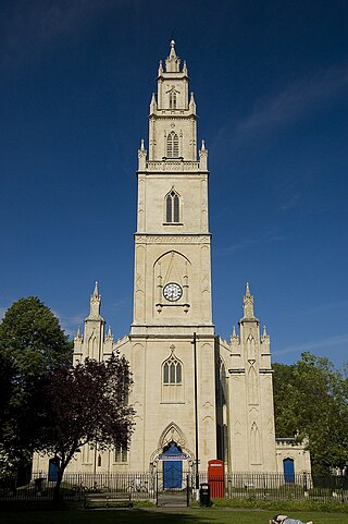
St Paul's Church, a redundant church, gives its name to the surrounding St Paul's area of Bristol, England. It was built in the 1790s but fell into disuse and disrepair by its closure in 1988. It is recorded in the National Heritage List for England as a designated Grade I listed building.
Sight 2: Saint James Priory
The Priory Church of St James, Bristol, is a Grade I listed building in Horsefair, Whitson Street.
Sight 3: John Wesley's Chapel
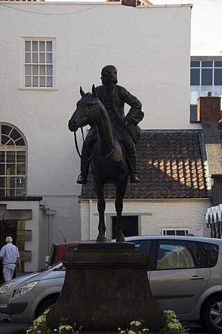
John Wesley's New Room is a historic building located between The Horsefair and Broadmead, Bristol, England. Opened in June 1739, it housed the earliest Methodist societies, and was enlarged in 1748. As the oldest purpose-built Methodist preaching house (chapel), it has been designated by Historic England as a Grade I listed building.
Sight 4: Bristol Castle
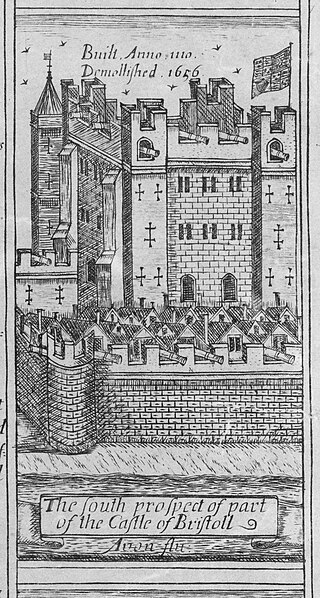
Bristol Castle was a Norman castle established in the late 11th century on the north bank of the River Avon in Bristol. Remains can be seen today in Castle Park near the Broadmead Shopping Centre, including the sally port.
Sight 5: Castle Park
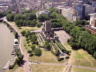
Castle Park is a public open space in Bristol, England, managed by Bristol City Council. It is bounded by the Floating Harbour and Castle Street to the south, Lower Castle Street to the east, and Broad Weir, Newgate and Wine Street to the north. Its western boundary is less obviously defined and has been the subject of controversy, perhaps because the area around High Street and St Mary le Port Church, though not part of the park and always intended for development, is often considered at the same time as the park.
Sight 6: St Peter's Church
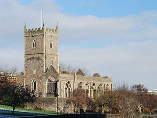
St Peter's Church is a ruined church in Castle Park, Bristol, England. It was bombed during World War II and is now preserved as a memorial.
Sight 7: Saint Mary-le-Port Church
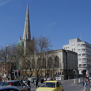
St Mary le Port is a ruined parish church in the centre of Bristol, England, situated in Castle Park on what remains of Mary le Port Street.
Sight 8: St Nicholas
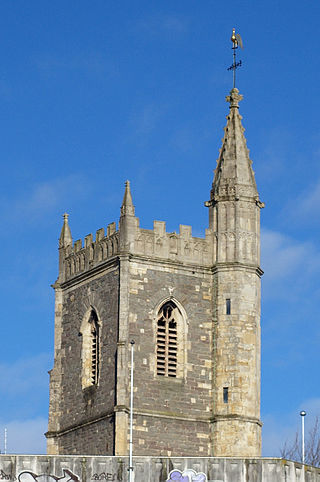
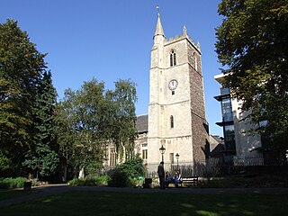
St Nicholas is a church in St Nicholas Street, Bristol, England. The church was bombed in the Second World War and rebuilt in 1974–1975 as a church museum. This museum closed in 2007 and the building was used by the city council as offices; in 2018 the church came back into use as an Anglican place of worship in the Diocese of Bristol.
Sight 9: Corn Exchange
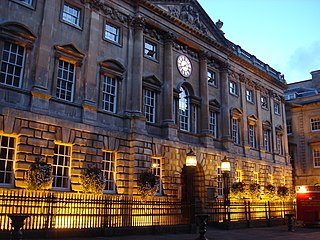
The Exchange is a Grade I listed building built in 1741–43 by John Wood the Elder, on Corn Street, near the junction with Broad Street in Bristol, England. It was previously used as a corn and general trade exchange but is now used as offices and it also accommodates St Nicholas Market.
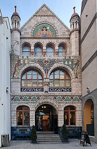
Sight 10: Edward Everard
The Former Everard's Printing Works is at 37-38 Broad Street in Bristol, England. It has been designated as a Grade II* listed building.
Sight 11: Saint Stephen's
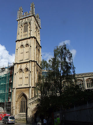
St Stephen's Church in St Stephen's Avenue, is the parish church for the city of Bristol, England.
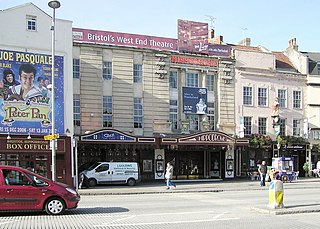
Sight 12: Bristol Hippodrome
The Bristol Hippodrome is a theatre located in The Centre, Bristol, England, United Kingdom with seating on three levels giving a capacity of 1,951. It frequently features shows from London's West End when they tour the UK, as well as regular visits by Welsh National Opera and an annual pantomime.
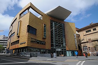
Sight 13: Bristol Beacon
Bristol Beacon, previously Colston Hall, is a concert hall and Grade II listed building on Colston Street, Bristol, England. It is owned by Bristol City Council. Since 2011, it has been managed by Bristol Music Trust.
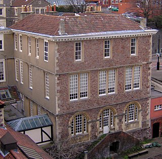
Sight 14: The Red Lodge Museum
The Red Lodge Museum is a historic house museum in Bristol, England. The original building was Tudor/Elizabethan, and construction began in 1579–1580, possibly to the design of Sebastiano Serlio. The main additional building phases are from the 1730s and the early 19th century.
Sight 15: Wickham Theatre
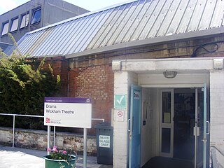
The Wickham Theatre is a studio theatre owned by Bristol University in Bristol, England. It has been home to the university's Department of Drama since 1968 and was named after Professor Glynne Wickham, founder of the department and of university theatre studies in Britain, upon his retirement, having been previously called the Vandyck Theatre. It is used for a wide range of activities.
Sight 16: Bristol City Museum & Art Gallery
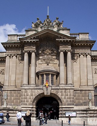
Bristol Museum & Art Gallery is a large museum and art gallery in Bristol, England. The museum is situated in Clifton, about 0.5 miles (0.8 km) from the city centre. As part of Bristol Culture it is run by the Bristol City Council with no entrance fee. It holds designated museum status, granted by the national government to protect outstanding museums. The designated collections include: geology, Eastern art, and Bristol's history, including English delftware. In January 2012 it became one of sixteen Arts Council England Major Partner Museums.
Sight 17: Cabot Tower
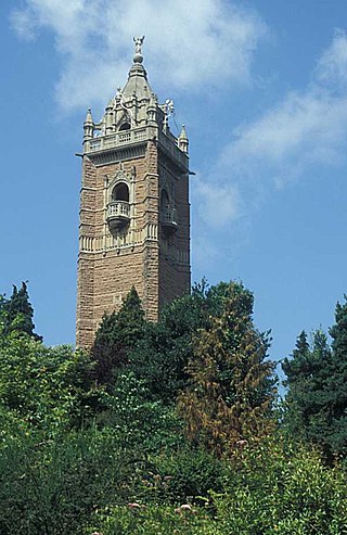
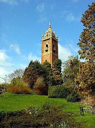
Cabot Tower is a tower in Bristol, England, situated in a public park on Brandon Hill, between the city centre, Clifton and Hotwells. It is a grade II listed building.
Sight 18: Brandon Hill Park
Brandon Hill, also known as St Brandon's Hill, is a hill close to Bristol city centre, between the districts of Clifton and Hotwells, in south west England.
Sight 19: Georgian House Museum
The Georgian House is a historic building at 7 Great George Street, Bristol, England. It was originally built around 1790 for John Pinney, a wealthy sugar merchant and slave plantation owner, and is now furnished and displayed as a typical late 18th century town house. The period house museum includes a drawing room, eating room, study, kitchen, laundry and housekeeper's room. There is also a small display on slavery and sugar plantations. The Georgian House has been a branch of Bristol City Council since it was presented to the city as a museum in 1937.
Sight 20: Lord Mayor's Chapel
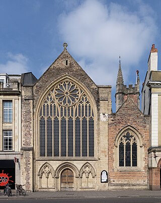
St Mark's Church is an ancient church on the north-east side of College Green, Bristol, England, built c. 1230. Better known to mediaeval and Tudor historians as the Gaunt's Chapel, it has also been known within Bristol since 1722 as the Lord Mayor's Chapel. It is one of only two churches in England privately owned and used for worship by a city corporation. The other is St Lawrence Jewry, London. It stands opposite St Augustine's Abbey, founded by a member of the Berkeley family of nearby Berkeley Castle, from which it was originally separated by the Abbey's burial ground, now called College Green. It was built as the chapel to the adjacent Gaunt's Hospital, now demolished, founded in 1220. Except for the west front, the church has been enclosed by later adjacent buildings, although the tower is still visible. The church contains some fine late gothic features and a collection of continental stained glass. It is designated by Historic England as a grade I listed building.
Share
How likely are you to recommend us?
Disclaimer Please be aware of your surroundings and do not enter private property. We are not liable for any damages that occur during the tours.
GPX-Download For navigation apps and GPS devices you can download the tour as a GPX file.
