Self-guided Sightseeing Tour #6 in San Francisco, United States
Legend
Tour Facts
2 km
48 m
Experience San Francisco in United States in a whole new way with our free self-guided sightseeing tour. This site not only offers you practical information and insider tips, but also a rich variety of activities and sights you shouldn't miss. Whether you love art and culture, want to explore historical sites or simply want to experience the vibrant atmosphere of a lively city - you'll find everything you need for your personal adventure here.
Activities in San FranciscoIndividual Sights in San FranciscoSight 1: Conservatory of Flowers
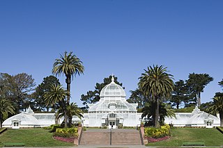
The Conservatory of Flowers is a greenhouse and botanical garden that houses a collection of rare and exotic plants in Golden Gate Park, San Francisco, California. With construction having been completed in 1879, it is the oldest building in the park. It was one of the first municipal conservatories constructed in the United States and is the oldest remaining municipal wooden conservatory in the country. For these distinctions and for its associated historical, architectural, and engineering merits, the Conservatory of Flowers is listed on the National Register of Historic Places and the California Register of Historical Places. It is a California Historical Landmark and a San Francisco Designated Landmark.
Sight 2: National AIDS Memorial Grove
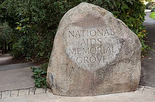
The National AIDS Memorial Grove, or "The Grove," is located at the de Laveaga Dell in eastern Golden Gate Park, in San Francisco, California.
Sight 3: Music Concourse
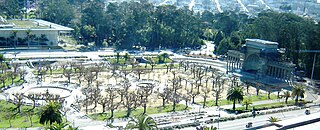
The Music Concourse is an open-air plaza within Golden Gate Park in San Francisco. Flanking the oval-shaped concourse are the M. H. de Young Memorial Museum and the California Academy of Sciences.
Sight 4: Japanese Tea Garden
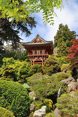
The Japanese Tea Garden in San Francisco, California, is a popular feature of Golden Gate Park, originally built as part of a sprawling World's Fair, the California Midwinter International Exposition of 1894. Though many of its attractions are still a part of the garden today, there have been changes throughout the history of the garden that have shaped it into what it is today.
Wikipedia: Japanese Tea Garden (San Francisco) (EN), Operator Website
Sight 5: San Francisco Botanical Garden
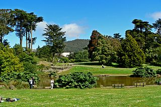
The San Francisco Botanical Garden at Strybing Arboretum is located in San Francisco's Golden Gate Park. Its 55 acres represents nearly 9,000 different kinds of plants from around the world, with particular focus on Magnolia species, high elevation palms, conifers, and cloud forest species from Central America, South America and Southeast Asia.
Share
How likely are you to recommend us?
Disclaimer Please be aware of your surroundings and do not enter private property. We are not liable for any damages that occur during the tours.
GPX-Download For navigation apps and GPS devices you can download the tour as a GPX file.
